

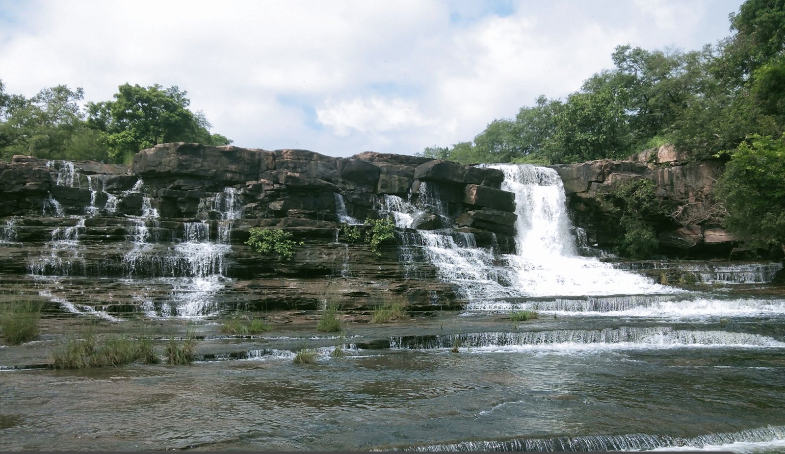
The upper Vindhyan Hills run east to west forming a plateau creased by small and big nallas. The slopes are generally gentle, rarely steep. Some nallas are fairly big and deep at places forming gorges and water falls as in Tunda Bharka. The area of the park is mostly hilly with plateaus and nullas.
The drainage pattern is towards north and northeast in the northern area of the park forming catchment of Amarnadi. In the central portion rivers and nullas flow east. On Manihar river dams are constructed forming Sakhya sagar and Madhav lakes. Bhurakho dam does not retain water. Other nullas flow into the Barhi river in the east. The nullas of the southern portion of the park flow east and southeast and join the tributaries of the Sind river. The park area forms catchment of the Sind river which flows along the eastern boundary of the park.
The eastern part of the park has sedimentary rocks of Vindhyan system, which are mostly sandstone, shale and limestones.
The rocks are sometimes flaky in nature. In general, the formations are flat bedded or with gentle slope in the northerly direction. Scarps, ripple marks, stratification are common features of these formations.
Some important flag stone mines and quarries are the resultant features of the nature of the formation. Some such mines existed in the park area in the past.
The generalised geological succession in the area is as follows:-
Alluvium - Soil laterite
Deccan trap - Basalt lava flows
Intra trappeans - Lamta sedimentary beds
Vindhyas - Lime stone and sand stone
Archaeans - Bundelkhand granite
Developed & Designed By: Blue Ocean Tech Solutions Pvt. Ltd.